
Mapping Gahanna Neighbors by Parcel
The defensible path for Gahanna neighbors starts with a subject parcel. Use the city map layer or the Franklin County Auditor map to identify the address, select nearby parcels with a boundary or buffer, and open each returned property record one at a time. The output is a defined set of public parcels and their record-owner or tax-mailing context. It does not show every occupant, a complete family relationship, utility customer, delivery recipient, or anyone protected by confidentiality law. Parcel geography is more reliable than assuming nearby street numbers form a complete block.
| Source | What it can show around a block | Access and limit |
|---|---|---|
| Gahanna Connect | Selected parcels, site address, ZIP, legal description, and link to County Auditor data | Address or parcel search and a 500-foot graphical buffer; owners and mailing fields are not residents |
| Auditor Parcel Viewer | Parcel geometry, roads, layers, and buffer-selected parcels | Shape, value, and spatial selection with CSV export; no household roster |
| Auditor Property Search | Individual parcel owner, site or mailing distinction, transfer, and assessment context | Open an individual record; confirm fields on the live parcel card |
| Franklin County Recorder | Recorded-party and legal-description relationship | Use parcel or legal-description clues; ordinary street addresses are not an index field |
| Board of Elections | Precinct registration lists and list-maintenance records as statute permits | Office or records-request route, with protected-voter and timing limits |
| City Planning and Legistar | Address-linked project, plat, permit, zoning, or development context | Official record or request; a project name is not proof of occupancy |
| Civic and historical groups | Public organization contacts and local-history leads | No member or household directory was identified |
For a land question, keep the site address, parcel ID, legal description, owner name, and tax mailing field in separate notes. They serve different purposes. The property record can help identify a parcel relationship. It should not be converted into a claim about all Gahanna neighbors who live nearby.
Gahanna Neighbors Parcel Buffer
Gahanna's GIS maps and the Franklin County Auditor Parcel Viewer provide complementary ways to define a small area. Gahanna Connect documents free-text address or place search and Tax Parcel search by exact Parcel ID, Owner Name contains, or Site Address contains. Its result data can include parcel ID, tax or school district, property class, site address and ZIP, legal description, subdivision or condominium, owner names, mailing fields, and an Auditor link. The city tool also supports graphical selection by point, line, extent, circle, or polygon, with a 500-foot default buffer.
- Find the subject address and confirm the parcel before selecting nearby lots. The parcel boundary, rather than a guessed range of street numbers, sets the starting point.
- In the Auditor Viewer, use By Spatial after finding the parcel. Enter a distance, apply the buffer, then choose parcels wholly inside or intersecting the area. By Shape is available when a drawn boundary fits better.
- Use the results panel or CSV export only to manage the selected parcel set. Open the public property record for an individual parcel to read its own site, mailing, transfer, and assessment fields.
- When the question expands to every parcel on a named street, switch to the fuller record chain in the Gahanna by-street directory.
A parcel buffer is a geography tool, not a people list. Its value is precision: it identifies a bounded group of lots even where a block crosses a road, municipal edge, subdivision line, precinct, or ZIP label.
Note: The Viewer's Identify tool returns mapped property information and a Property Search link, so use it to verify the particular parcel rather than infer results from map symbols.
Gahanna Neighbor Property Records
After the map identifies adjacent parcels, the Franklin County Auditor Property Search is the record to open for each lot. It offers owner-name, address, parcel-ID, subdivision and condominium, advanced, map, and intersection paths. Its address route accounts for street name and address number, while a parcel ID can be searched in full or part without dashes. A parcel card separates a site address from owner mailing or contact fields, legal description, transfer information, assessment data, mapping, tax, photo or aerial, and value-history context.
The next record key is the parcel or legal description, not the street address. The Franklin County Recorder Cloud Search accepts party, subdivision, document type, document number, and recorded-date clues, with index-only and OCR modes. A deed, mortgage, release, lien, or plat can document a recorded relationship. It does not create a live neighborhood list. Record the instrument type, date, grantor and grantee roles, and identifier before treating it as a historical property lead.
Gahanna Neighbors Precinct Route
Election records have a legal, narrow route. Ohio SOS My Voter Information requires a person's first name, last name, and county to verify registration and find precinct or polling-place information. It does not provide a public search by block or street. For an official precinct-list or list-maintenance request, contact the Franklin County Board of Elections, the local elections custodian. Name and address copying from registration lists is tied to Board-office inspection under ORC 3503.26, subject to protected records and the election-period rule that applies when copying would interfere with Board work from 21 days before through 11 days after an election.
The Board of Elections is the proper place to ask about a defined geographic election record and its current reproduction options.
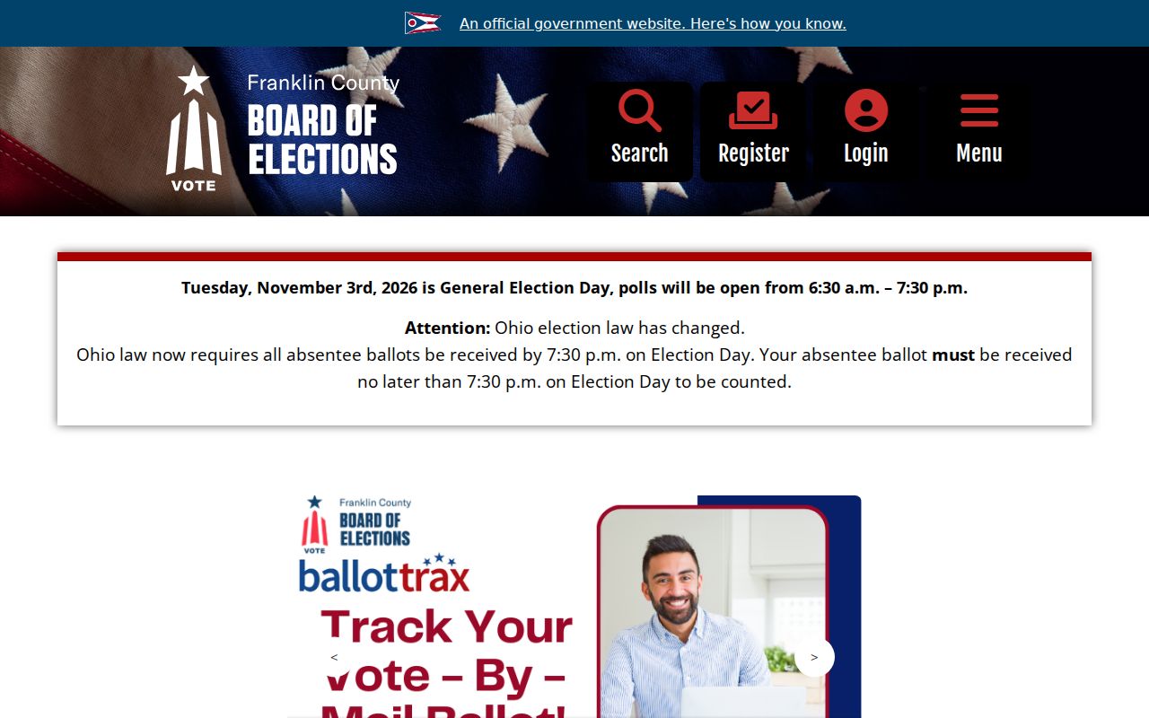
A block can cross a precinct, ward, municipal boundary, or delivery ZIP. Use Board geography and the request route rather than attempting to reconstruct a street roster from the state verification form. Safe at Home participants and other confidential voter records are not part of ordinary public views.
Gahanna Neighbor Community Contacts
The community layer is public and organizational, not a directory of households. The Gahanna 175 participant list identifies public-facing civic, faith, service, veterans, school, park, neighborhood, and chamber organizations. It includes the Gahanna Historical Society, Neighborhood Bridges, Rotary, Lions, Kiwanis, American Legion Post 797, local congregations, schools, parks groups, and the Gahanna Area Chamber. These names can help someone find an organization or local-history contact. They do not establish membership, an address, or a roster for any person.
The Gahanna 175 City page provides a public view of the organizations that took part in the anniversary effort.
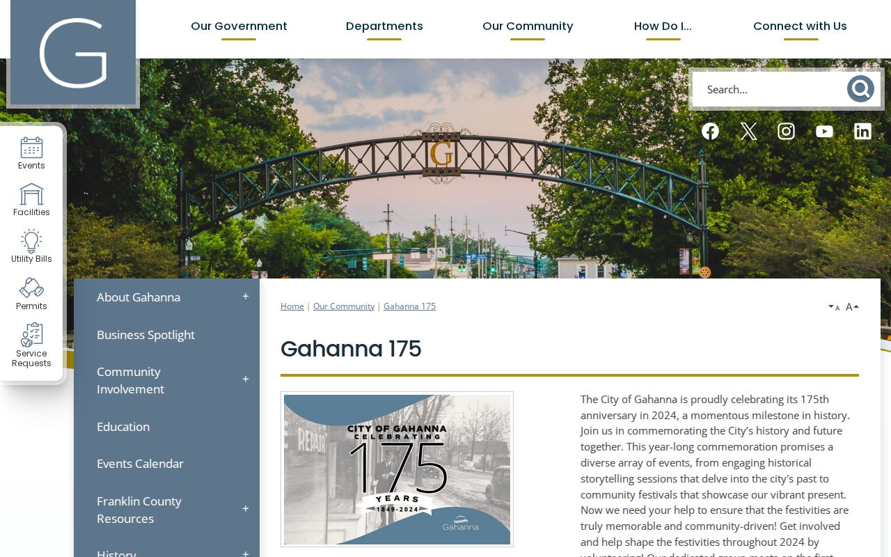
Use public organization contacts only for public organization questions. The Gahanna Historical Society has preserved local artifacts, documents, and photographs for more than 60 years and directs researchers toward the Gahanna History Collection at Columbus Metropolitan Library. It is a historical-source route, not a current-person search.
| Public contact layer | Appropriate use |
|---|---|
| Gahanna Historical Society | Ask about historical holdings and local-document research, not present household information. |
| Neighborhood Bridges | Use its public organizational contact path, without inferring a participant list. |
| Rotary, Lions, and Kiwanis | Use public civic-organization information only; the City list is not a member directory. |
| Veterans, faith, school, park, and chamber groups | Use public contacts for community or event questions, never as proof of a person's address. |
Gahanna Block Planning Records
Planning records can explain the physical context shared by a street segment without identifying Gahanna neighbors. The City of Gahanna Planning Department handles building permits, code enforcement, zoning permits, development applications, conditional uses, development plans, variances, and rezonings. Its OpenGov portal is the current application route. Legistar can search years and text and includes records such as annexations, development plans, final or preliminary plats, floodplain-use permits, variances, and zoning matters.
For a historic or offline file, use the City's public-records request route and name the address, parcel or subdivision, record series, and approximate date. A permit, plat, or planning application can date a property change. It cannot establish who occupies a nearby home.
Gahanna Neighbor Source Limits
Official property sources and commercial neighbor-search categories answer different questions. The Auditor and Recorder identify a public parcel or recorded-document relationship, with a known custodian and search key. City planning records show a public project or land-use context. Board records follow statutory inspection and confidentiality rules. A commercial category may combine public, self-reported, and brokered information from unlike dates and places. Its result, omission, or category label is not an authoritative block list.
| Official route | Commercial category |
|---|---|
| Identifies the record custodian, date, field, and legal boundary. | May combine material with different sources, dates, and attribution quality. |
| Lets a researcher request or verify the underlying record. | May not reveal a complete record path or a current update process. |
| Supports a limited parcel, court, civic, or election question. | Should not be used as a claimed household roster or an official source. |
This distinction corrects a common myth: a name next to a nearby address does not prove that person is a current neighbor. Confirm the relevant official record with its custodian and preserve the difference between owner, mailing contact, recorded party, and occupant.
Gahanna Neighbor Privacy Limits
Ohio protects several categories that should never be forced into a Gahanna neighbor search. The Safe at Home Address Confidentiality Program gives eligible participants and household members a designated substitute address, and their identifying program information is exempt under the Ohio Public Records Act. Protected voter records are also confidential. Motor-vehicle personal information is not an alternate parcel source, and court records can be sealed, expunged, or confidential. An absence from a map or list can reflect a lawful protection, not a conclusion about a person.
For an error in an official source, ask the custodian that keeps it: the Auditor for property inventory, the Recorder for document questions, the Board for voter records, the court clerk for a docket or file, and the City Records Coordinator for city material. A focused request under the Ohio Public Records Act (Sunshine Law), ORC 149.43 seeks an existing record; it does not require an office to create a new list from separate systems.